


over one hundred prints
All prints are available custom-framed or as ready-to-hang stretched canvas.
Gallery-quality prints · Independent artists · Décor to adore


from $ 18


from $ 18


from $ 18


from $ 18


from $ 18


from $ 17
 DN-SC-89-02502” by iShip, 1988")

from $ 19


from $ 15


from $ 18


from $ 18

from $ 18
” by ArtHistory")

from $ 15


from $ 18


from $ 18


from $ 18


from $ 18
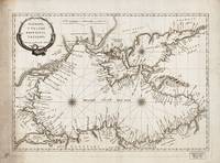
” by ArtHistory")

from $ 15
” by ArtHistory")

from $ 15
” by ArtHistory")
from $ 15


from $ 18


from $ 18
” by ArtHistory")

from $ 15
” by ArtHistory")

from $ 15


from $ 15


from $ 18
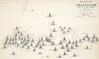
” by ArtHistory, 1967")

from $ 15
 DN-SD-03-11417” by iShip, 2001")

from $ 19
” by ArtHistory")

from $ 15


from $ 15
” by ArtHistory")

from $ 15