


over three hundred prints
All prints are available custom-framed or as ready-to-hang stretched canvas.
Gallery-quality prints · Independent artists · Décor to adore


from $ 18
” by Alleycatshirts")

from $ 11

from $ 11


from $ 11


from $ 11
” by ArtHistory")

from $ 15
” by Alleycatshirts")

from $ 11


from $ 15

from $ 11


from $ 11
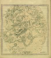
 (1856)” by Ninboy")

from $ 11
” by Alleycatshirts")

from $ 11


from $ 11
 (1856)” by Ninboy")

from $ 11
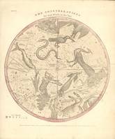
” by Ninboy")

from $ 11
” by Ninboy")

from $ 11


from $ 11


from $ 11
 Central America Country Atlas” by Alleycatshirts")

from $ 11
 Vintage OH County & State Atla” by Alleycatshirts")

from $ 11
 Vintage Finnish Atlas” by Alleycatshirts")

from $ 11
 Vintage Badger State Atla” by Alleycatshirts")

from $ 11
” by Alleycatshirts")

from $ 11
” by Alleycatshirts")

from $ 11
” by Alleycatshirts")

from $ 11
” by Alleycatshirts")

from $ 11
” by Alleycatshirts")

from $ 11
” by Alleycatshirts")

from $ 11
” by Alleycatshirts")

from $ 11
” by Alleycatshirts")

from $ 11